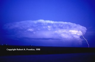
 A low pressure center - stronger than the one last Sunday that produced an EF-1 tornado in Southwestern Johnson County, MO - will move close to Kansas City around pre-dawn Thursday.
Barometric pressure readings on Kansas City barometers may well go below 29.00 inches - VERY rare here.
Although this storm will be similar to last as far as available atmospheric dynamics, the last paragraph of Wednesday morning's Storm Prediction Center's Convective (Thunderstorm) Outlook caught my eye.
It reads as thus: ALONG WITH SOME POTENTIAL FOR LOCALLY-DAMAGING WINDS - LARGE HAIL AND ISOLATED TORNADOES WILL ALSO BE POSSIBLE. GIVEN WIDESPREAD AREA OF VERY STRONG SHEAR...A COUPLE OF SIGNIFICANT TORNADOES CANNOT BE RULED OUT ANYWHERE FROM (EASTERN OKLAHOMA & EASTERN KANSAS) DURING THE AFTERNOON INTO (MISSOURI & ARKANSAS) THROUGH THE OVERNIGHT HOURS. (AT THIS TIME) - WILL NOT INTRODUCE A MODERATE RISK - BUT THE POTENTIAL FOR AT LEAST A FEW SIGNIFICANT (SEVERE THUNDERSTORM) SUPERCELLS IS EVIDENT.
Please tune to NWS Weather Radio or log into this blog overnight tonight into Thursday morning for the very latest info on this developing situation.
______________________________________________________________________________


No comments:
Post a Comment